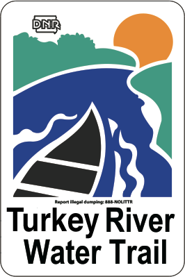
The Turkey River Water Trail is 98-mile stretch of the Little Turkey and Turkey Rivers in Northeast Iowa connected through signs, maps, and river access points that provides an enjoyable, scenic and educational experience for recreational users. The 98-mile water trail begins on the Little Turkey River at Gouldsburg Park and flows southeast through Fayette and Clayton Counties toward the Mississippi River. The Water Trail features beautiful scenery, diverse wildlife species, and numerous historic landmarks.
The Turkey River Water Trail Map & Guide is available for download in PDF format, for order online, or for pick up at several Northeast Iowa locations. You can also check out this Interactive Paddling Map from the Iowa DNR that includes potential hazard locations.
Thank you to the Northeast Iowa RC&D, Upper Mississippi Gaming Corporation, Fayette County Conservation, Clayton County Conservation, Fayette County Economic Development & Tourism, and the Clayton County Development Group for assisting with the funding for development of the updated guide and interactive 360° videos/map below!
Every reasonable effort has been made to assure the accuracy of the information on this site. The Turkey River Recreational Corridor, Northeast Iowa RC&D, and their partners assume no liability or responsibility in the use, or misuse, of the maps and information included on and linked from the site.
Other Links and Resources:
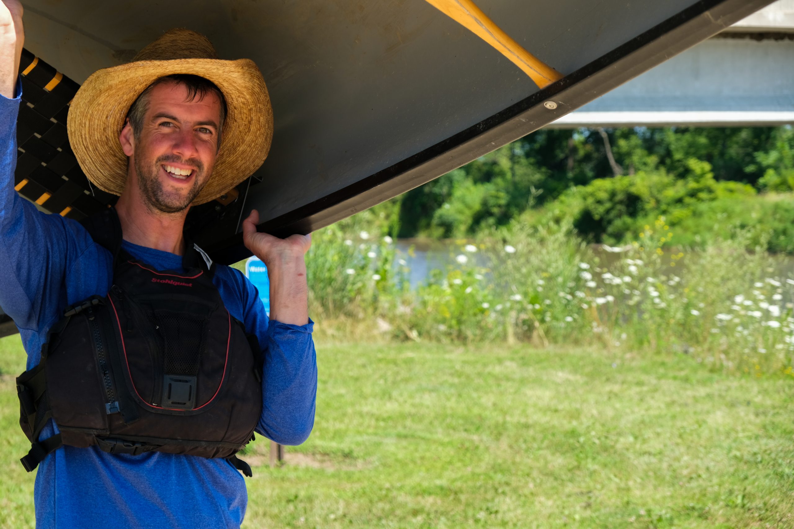
What is a “Water Trail”?
Iowa’s Water Trails enhance recreational experiences for all water recreation enthusiasts, including but certainly not limited to canoeists and kayakers. A water trail is defined as an on-water point-to-point travel system with multiple access points, and a recommended route connecting the points. On a river or stream, this may allow for downstream travel. On a lake, a water trail might hug a shoreline and include open water crossings at strategic points. Find maps for other water trails on the Iowa DNR’s River Programs website.
Paddling Safety Tips from the Iowa DNR
- Always wear a properly fitted lifejacket. Kids under age 13 must wear a life jacket at all times when the vessel is underway. The vessel must have enough life jackets for all members on board.
- Paddle with a group, not by yourself
- Tell a friend or loved one where you will be paddling, including what access to what access, and when you are expected to return. It will be easier to find you if you need help.
- Avoid swimming, wading, paddling or boating near low-head dams. Often difficult to see from upstream, low-head dams have deadly recirculating currents. Watch for warning signs, listen for rushing water, and get out and scout when in doubt.
- Stay clear of downed trees, bridge piers, scrap metal or clusters of rocks or concrete. Avoid wading in fast water. Bridge construction projects across Iowa could close some sections of rivers this summer. Look for known hazards that have been reported to DNR through their interactive river map at https://www.iowadnr.gov/things-do/paddling-river-recreation/where-paddle.
- Always know your river conditions before you go paddling. For the latest river conditions, contact Iowa DNR Customer Service at 515-725-8200 or your local county conservation board for updates.
- Bring along a dry bag with a set of extra clothes you can change into if you get wet, a first-aid kit and a protected cell phone or weather radio.
- Pack plenty of water to stay hydrated. Wear light, loose fitting clothing that dries quickly. Wear a hat, sunglasses and plenty of sunscreen.
- Find individual water trail maps, including access points at https://www.iowadnr.gov/places-go/water-trails/trail-maps-guides.